The new cloud-based platform automates GIS and regulatory reporting for broadband providers, reducing reporting time by up to 85%
CADTEL Launches SpatialREPORTS to Simplify Broadband Compliance Reporting
03 Mar
Posted by: Jeff Zicarelli
Category: Updates
No Comments
SpatialREPORTS Launches
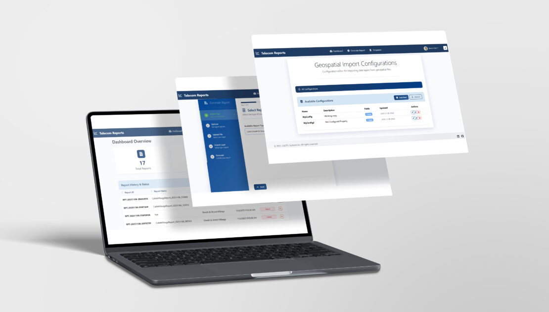
Cadtel announced the launch of SpatialREPORTS, a cloud-based platform that transforms complex GIS network data into submission-ready regulatory reports for broadband and telecommunications providers. Built to simplify compliance with programs such as FCC, BEAD, HUBB, and State USF, SpatialREPORTS automates calculations, eliminates manual errors, and dramatically reduces the time required to generate accurate reports. The free version launches January 2026, with expanded paid tiers coming in Spring 2026.
SpatialREPORTS is designed to replace the tedious process of manual data preparation and spreadsheet-based reporting. By connecting directly to GIS datasets, the platform automatically generates infrastructure and compliance reports including route miles, strand miles, and sheath miles. Built-in validation ensures all submissions meet federal and state requirements before they are filed.
“We built SpatialREPORTS to give broadband providers their time back,” said Cadtel’s President, Jeff Zicarelli,. “Our customers told us they were spending days every quarter compiling data for compliance. SpatialREPORTS takes that process down to hours while improving accuracy and transparency.”
SpatialREPORTS will offer four subscription tiers to serve providers of all sizes:
- Basic (Free): Limited report generation for smaller networks
- Gold ($129/month): Core reporting tools with one state compliance module
- Platinum ($299/month): Multi-program access with expanded features
- Enterprise ($599/month): Full white-label, on-premise, and API-integrated solutions
All plans include secure data handling, multi-user access, and optional training and support packages.
About Cadtel
Cadtel delivers innovative software solutions that help broadband providers streamline operations and stay compliant with evolving regulatory requirements. With a focus on automation, data accuracy, and customer-driven design, Cadtel empowers communication networks to scale efficiently and sustainably.
For more information, visit www.cadtel.com/spatialreports or contact info@cadtel.com.